 Facebook
 Instagram
 note



Section4
Nakao Plateau to Hirayu
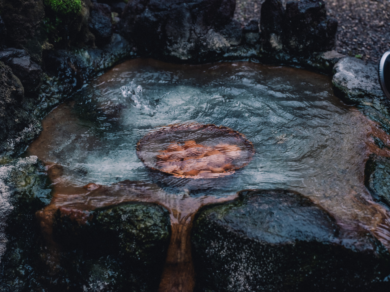
Walking along the steam of the hot springs, a journey around Okuhida Onsen
The trail passes through some of Japan's most famous hot spring areas, including Shinhotaka Onsen (Nakao), Tochio Onsen, Shinpirayu Onsen, Fukuji Onsen, and Hirayu Onsen. Touring hot springs while walking is a unique pleasure of the Shinpi Trail.
Walking distance
16.1km
Reference time
Approximately 4 hours and 30 minutes (by bus)
Minimum and maximum elevation
783 ~ 1,265m
difficulty
About the Trail
Explore
Traffic regulation information

-
Traffic regulation information
[Section 4] Notice of traffic restrictions in the Shinhotaka-Kamisaka area
-
Traffic regulation information
Announcement of the full opening date for the Shinobi Trail 2026 season.
Section Overview and Highlights
Important points to note
- The section between Fukuchi Onsen Bus Stop and Hirayu Bus Terminal has no sidewalks and is dangerous due to the heavy traffic, so we recommend taking the bus.
- During heavy rain, please be careful when walking along the Kamata River.
- Be careful of encounters with bears.
- There are many paved road sections and little shade, so please take precautions against the heat in the summer.
-
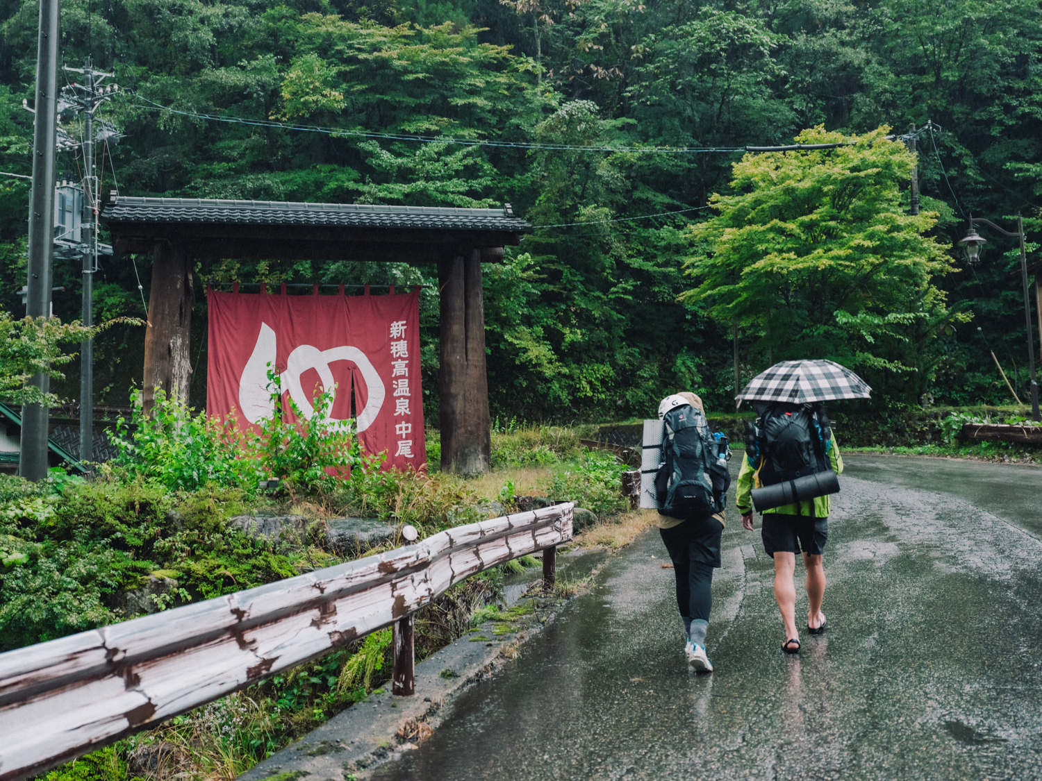
Nakao Plateau
6.4km
-
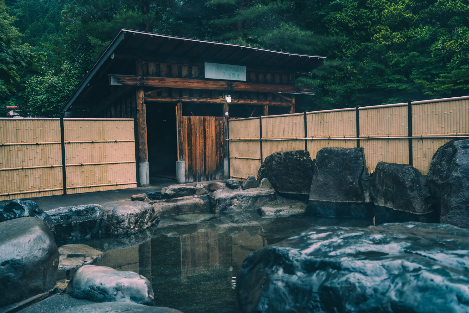
Kojin no Yu
300m
-
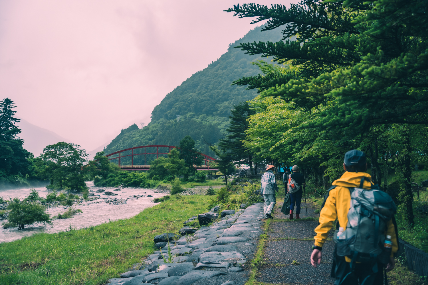
Takarabashi
1.4km
-
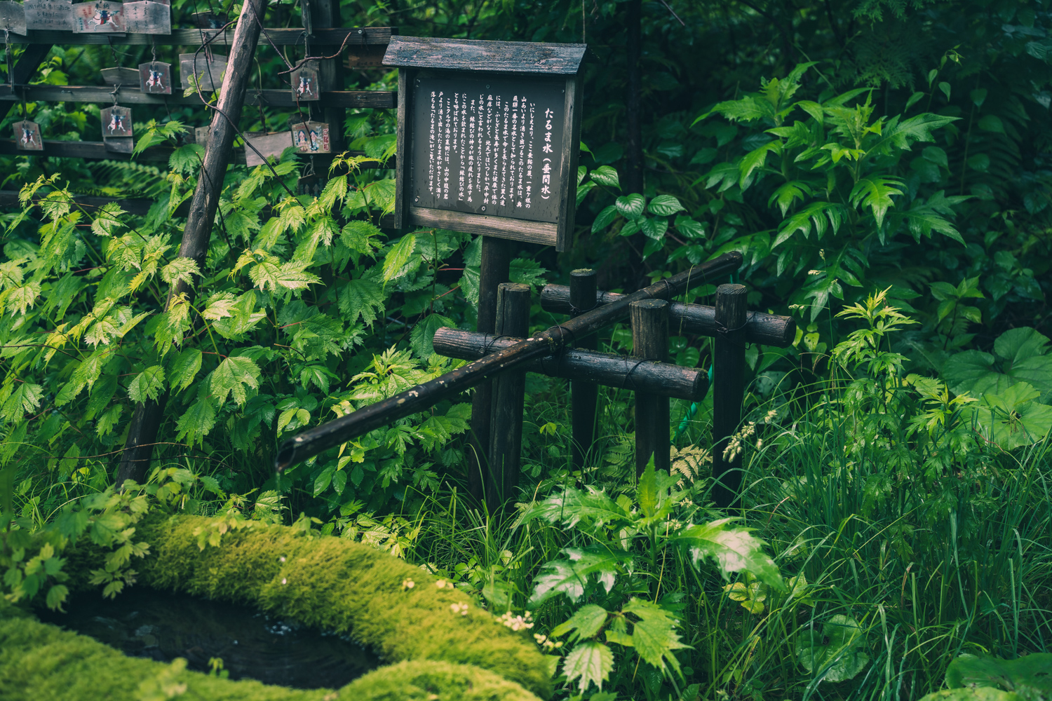
Taruma Water
2.4km
-
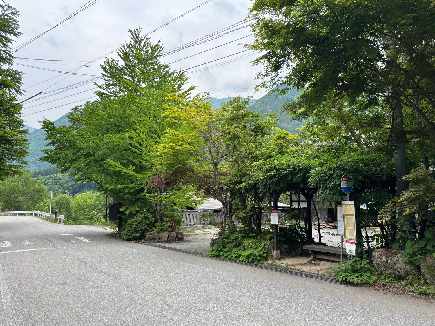
Fukuchi Onsen Bus Stop
5.9km
-
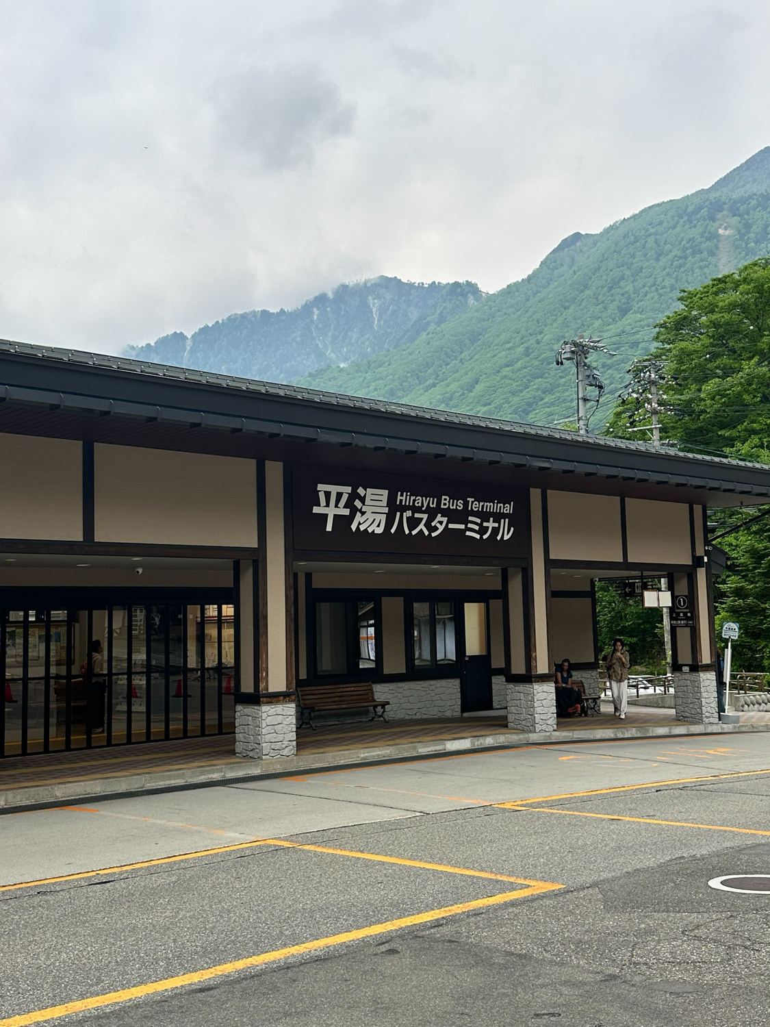
平湯バスターミナル
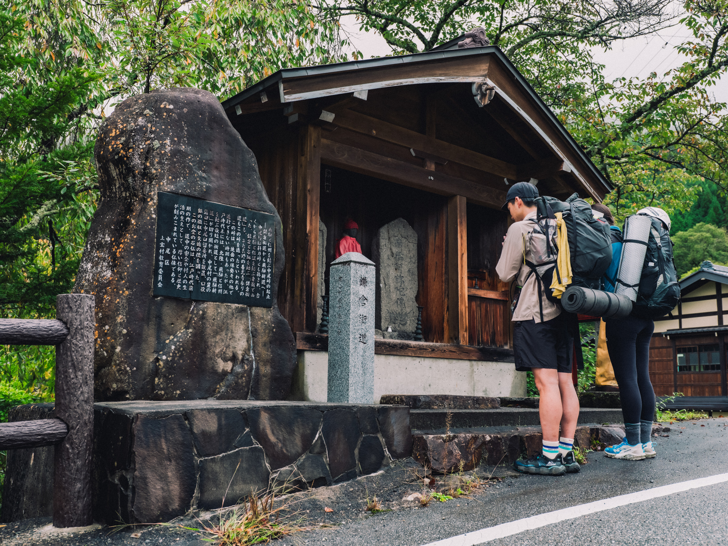
Kamakura Kaido stone monument
This stone monument, placed in Nakao Plateau, records the history of the ancient highway. It also serves as the starting point for the journey to Nakao Pass, and you can learn about the historical position of Nakao Plateau.
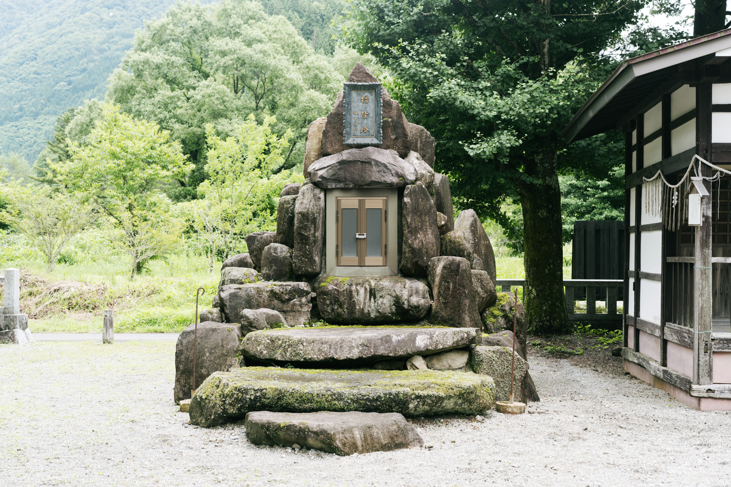
Murakami Shrine
This shrine is located across the Kamata River from Tochio Onsen. Within the grounds is the Banryu Tower, named after the monk Banryu, who founded Mt. Yari and restored Mt. Kasagatake.
Hirayu Onsen
This is the oldest hot spring in the Oku-Hida Onsen area. It is said to have been discovered by Takeda Shingen during a battle in the Middle Ages when he invaded Hida. It is also known as a tourist base for Kamikochi and other areas.
Access
-
Nakao Plateau
bus:
Take the bus bound for Shinhotaka Onsen from Takayama Nohi Bus Center (in front of Takayama Station) and get off at the Nakao Kogenguchi bus stop. The journey takes about 1 hour and 30 minutes.
-
Hirayu
bus:
It takes about 1 hour and 10 minutes by bus from Takayama Nohi Bus Center to Hirayu Onsen, or about 2 hours by express bus from Matsumoto Bus Terminal to Hirayu Onsen.
car:
From Takayama IC or Matsumoto IC, take National Route 158 to Hirayu Onsen.
Route
Section1
Matsumoto to the islands
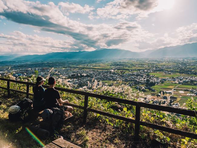
From Alps Park, experience the culture of Matsumoto, which has been nurtured by the mountain ranges of the Northern Alps and abundant water, and head to Shimashima Valley along the Azusa River.
-
Walking distance
22km
-
Reference time
Approx. 8 hour
-
Highest and lowest elevations
780-574m
-
difficulty
★★ ★★★
Section2
Islands to Kamikochi
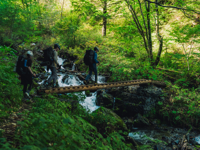
Follow the classic trail beloved by Walter Weston, cross TokugouPass and head to Kamikochi.
-
Walking distance
25.3km
-
Reference time
about 10-12 hours
-
Highest and lowest elevations
2,140m ~ 691m
-
difficulty
★ ★ ★ ★ ★
Section3
Kamikochi to Nakao Plateau
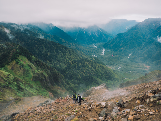
From Kamikochi, with its beautiful clear streams, we cross the active volcano of Mt. Yakedake and Nakao Pass to Nakao Plateau in Oku-Hida, a former checkpoint on the Kamakura Kaido and Hida Shindo roads.
-
Walking distance
9.8km
-
Reference time
約7~8時間
-
Highest and lowest elevations
2,133m ~ 1,083m
-
difficulty
★★★★ ★
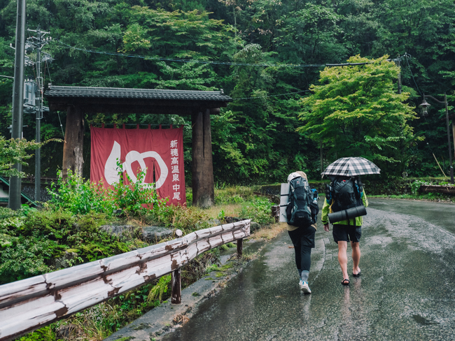
Section4
Nakao Plateau to Hirayu
We travel from Nakao Plateau to Hirayu, passing through several hot springs in the Oku-Hida Onsen area and feeling the blessings of the volcano.
-
Walking distance
16.1km
-
Reference time
Approximately 4 hours and 30 minutes (by bus)
-
Highest and lowest elevations
1,265m ~ 783m
-
difficulty
★★ ★★★
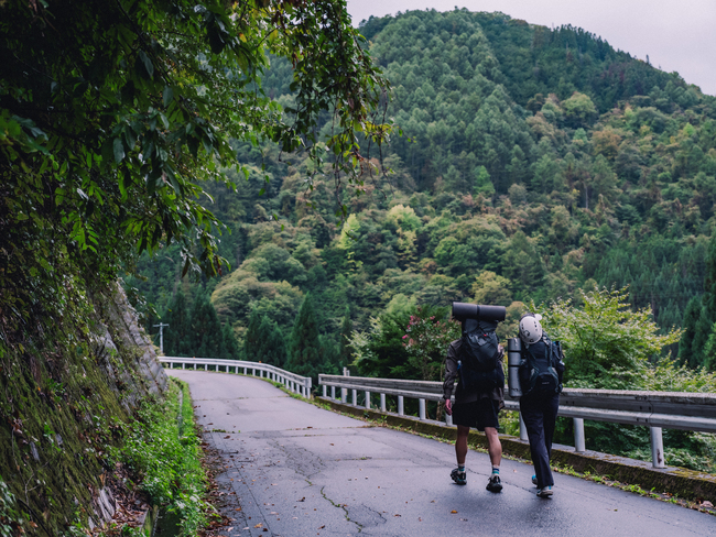
Section5
Hirayu to Nyukawa
Crossing Hirayu Pass, we head to Nyukawa in Takayama City, enjoying stone statues such as Jizo statues and the local culture that is deeply connected to wood.
-
Walking distance
22km
-
Reference time
Approximately 6 hours and 30 minutes (by bus)
-
Highest and lowest elevations
1,684m ~ 785m
-
difficulty
★★★ ★★
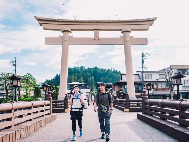
Section6
Nyukawa to Takayama
From Nyukawa, where the satoyama and rice fields that can be said to be the original landscape of Japan remain, we head to Takayama, where you can experience the old townscape, Hida craftsmanship, and wood culture.
-
Walking distance
22km
-
Reference time
Approx. 8 hour
-
Highest and lowest elevations
785m ~ 540m
-
difficulty
★★ ★★★